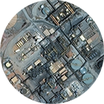
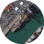
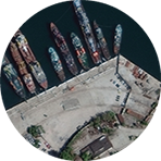
30 cm imagery is here!
Our customers are Seeing a better world™ with the gold standard in satellite imagery
As the global leader in satellite imagery, DigitalGlobe is proud to once again push the boundaries of innovation by being the first company to deliver 30 cm resolution imagery.
This 5x improvement in resolution represents the definition of very-high resolution imagery.
30 cm imagery delivers clearer, richer images that empower better decision making through improved situational awareness.
Experience the difference!
See how 30 cm is changing the game
use your mouse to explore

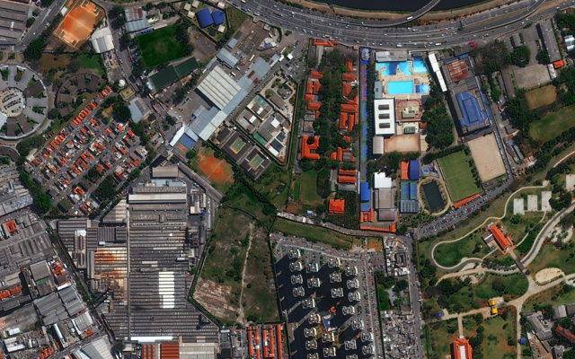
For the first time, satellite imagery can now be considered both a global complement and viable alternative to aerial imagery, particularly for countries with formidable legal, geographic, or geopolitical barriers to aerial-based imagery collection, or where fast delivery and regular, cost-effective updates are major requirements. Over 100 countries around the world fall into that category.
Enabling more answers from imagery
Take a look for yourself!
See the improvement over 70 cm imagery
Resolution matters. You cannot create data from nothing and the laws of physics cannot be conquered via software enhancements. These indisputable facts are why DigitalGlobe and its customers place such high value on the ability to see the world in the clearest, most detailed way yet.
More complete information
Click to learn more
Explore how 30 cm imagery impacts you
30 cm imagery brings new value to a variety of use cases and market segments including mining, oil and gas, civil government, social/mobile/location services, and even global development organizations. This new level of value means better operational efficiency and cost management, more effective disaster planning and recovery, a better customer experience in consumer-facing, map-centric market segments, and more efficient humanitarian assistance.


